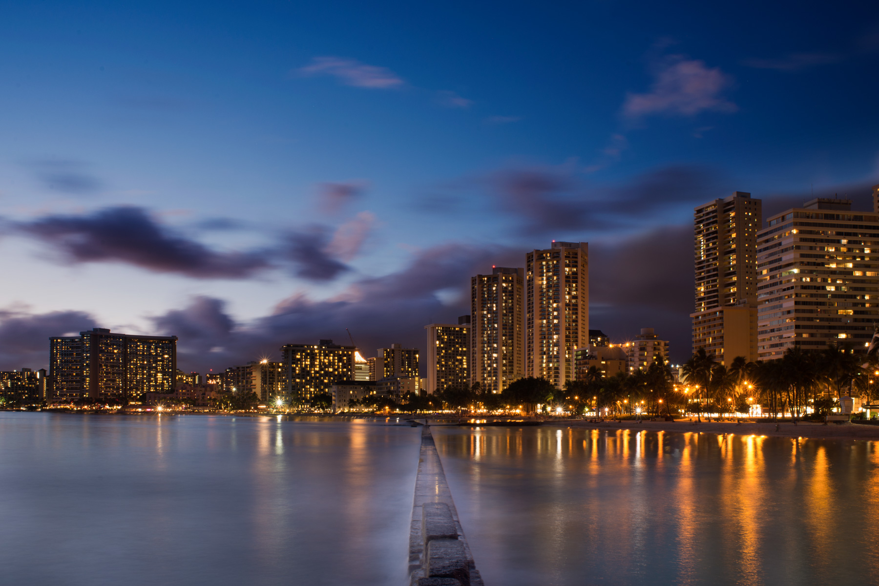
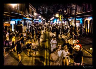
This past New Year’s Eve was more fun than I’ve had in years. Firstly, Eat the Street was the perfect fit for a super block party. Kakaako Waterfront Park is the ideal location for a party that size in town. And last but not least, the weather remained dry even when it didn’t look so promising in the afternoon.
Twirling Girlish and Fire Dancers
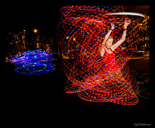
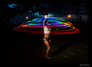
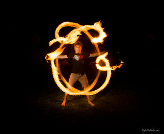
All sorts of performing artist practice every week at Kapiolani Park on Sunday afternoons. These can range from jugglers, acrobats, hoopers and fire dancers. I try to make it out there as often as I can to photograph the artists.
Waikiki Halloween 2012
Just got back from Halloween in Waikiki. Gotta get some sleep for work tomorrow but I posted a few photos. If I gave you one of my cards, please check back again in about a week or so.
Here’s the link to the full set on Flickr
Hallowbaloo 2012
Here’s the photos I took from an abbreviated Hallowbaloo street party courtesy of a tsunami evacuation. Luckily the tsunami did not do not any significant damage (as of this writing at least).
Here’s the full Hallowbaloo 2012 photo set
Public Parking Lots in Honolulu
Last week I went to a meetup sponsored by Code for America. They were unveiling the new data portal for the City & County of Honolulu, data.honolulu.gov that they developed as part of the Code for America program. It’s still very new and under construction, but there are several very useful data sets already published or linked from that site. For example, here is the most comprehensive map I’ve seen of all public parking lots on Oahu. It lists free parking lots like the big one in Ala Moana Park as well as the municipal metered lots in Chinatown. Even the little known municipal metered lot in the middle of Waikiki. Gotta keep that last one a secret, or else I’ll never find cheap parking when I go to the Genius Lounge.

Map of public parking lots on Oahu
The link above goes directly to the map hosted by ESRI. But there many more data sets on data.honolulu.gov. The site is mostly geared towards software developers at this point, but I can see how it will eventually supplement or replace other City web sites. Open data is an important policy for any government. For the most part, government administrators are very much in favor of distributing public information in the most accessible way possible. The problem is educating the public. Most people can’t imagine why accessing information is important. Those people need to see how open data applies to their lives before they see the value in it. I hope this post shows the possibilities that an open data policy promotes.
First Friday – August 2012
First Friday – July 2012
First Friday fashion shows at the Hawaii Institute of Hair Design and SOHO Mixed Media Bar.
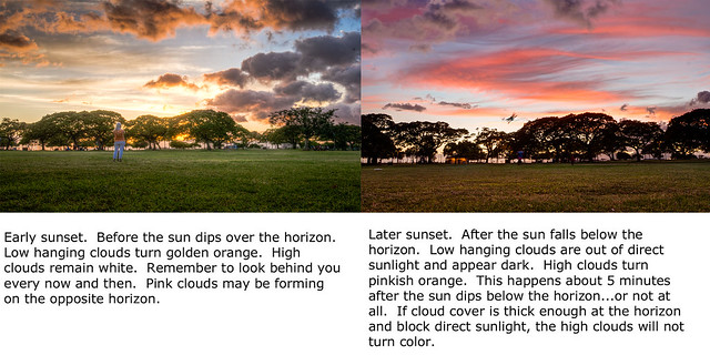
Sunsets
SBX-1 Tour
I recently had the opportunity to take a tour of the Sea Based X-Band radar ship, or SBX-1 as it is called. It is a large radar mounted on what would have been a oil drilling platform. SBX-1’s mission is to detect and discriminate incoming ballistic missiles so that they can be shot down by the U.S.’s Ballistic Missile Defense System. Although it is currently docked in Pearl Harbor, it has been deployed recently during North Korea’s missile test.
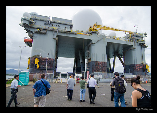
151 steps is definitely not the kind of commute I would want to do every day. Our guide, Lt. Col. Steve Braddom, said that the crew has the option of going ashore but I’d guess they keep that to a minimum.
The SBX-1 is now in a limited test support role and will remain in Pearl Harbor unless it needs to be re-activated. The original intent of the ship was to go wherever it is needed in the Pacific theatre and be stationed in Alaska. However, SBX-1 was moved to Hawaii for budget reasons. The maintenance in lower in places that don’t freeze I suppose.
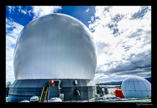
The most intriguing part of the tour was when we went inside of the radome, the inflatable dome that surrounds the radar. The radome can protect the radar from winds of at least 130 m.p.h. It’s remarkable since the difference in air pressure inside the dome was only about 1.5″ of water higher than the outside. Call it about 0.05 psi.
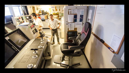
If you’re really curious as to what the radar itself looks like, there’s a photo of the X-band radar being installed on the ship in Texas. It’s about 1/3 of the way down the page.
A big Thank You to the Public Affairs Office of and for setting up the tour.
Google Street View Announcement
Google announced a big improvement of their Street View program today. This includes panoramic vistas of popular places inaccessible by car. It will help tourist take a virtual walking thru Waikiki in addition to driving down Kalakaua Avenue.
